4842
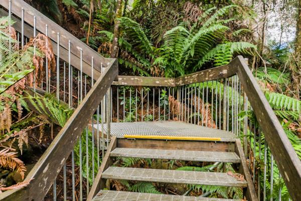
Warburton
by Rodrick Bond taken on 22nd May 2008
Warburton, Warburton, Victoria, Australia
Shot Details
- Photographer
Rodrick Bond - Date Shot
22nd May, 2008 at 4:36pm - Camera Nikon D300
- Lens '10.5 mm
- Shutter Speed 1/100 sec
- Aperture f/10
- ISO 200
Location Details
- Latitude -37.75316700
- Longitude 145.69650000
- Altitude 202m / 663ft
- Street 3459A Warburton Highway
- Suburb Warburton
- State Victoria
- Country Australia
- Postcode 3799
- Satellites 6
Other Details
- ID 4842
- Ranking 50/100
- Status Pending
- Last updated 27th October, 2015 at 5:10pm
Nearby Locations
Warburton
Upper Yarra River, Warburton
Warburton
Upper Yarra River, Warburton
Warburton
Warburton
Warburton
Warburton
Upper Yarra River, Warburton
Warburton
Upper Yarra River, Warburton
Upper Yarra River, Warburton
Cement Creek
Mt. Donna Buang Rainforest Walkway
Cement Creek
Mt. Donna Buang Rainforest Walkway
Mt. Donna Buang Rainforest Walkway
Mt. Donna Buang Rainforest Walkway
Mt. Donna Buang Rainforest Walkway
Mt. Donna Buang Rainforest Walkway


Popular Panoramas
Lighthouse 1
Lady Musgrave Island
Christ of the Abyss
Tropicana Las Vegas
Sunny Face
Boeing KB-50J Superfortress
Hamilton Island Marina
Urban Art 3
One Tree Hill Hamilton Island
Bronte Sea Baths
Victoria Square 0
Kata Tjuta Sunset Viewing
Great Ocean Road
Yeppoon
Piha Beach 0
Great Ocean Road 1
Moss Garden
Cycad Gorge
Port Of Airlie
City View


