4830
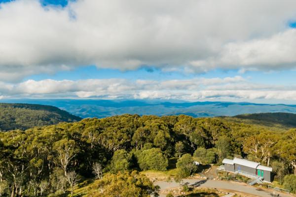
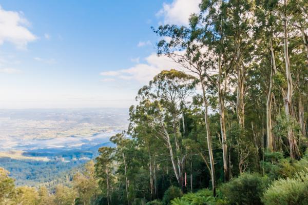
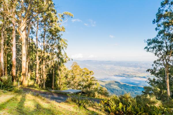
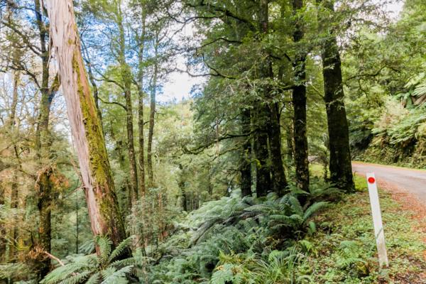
Mt. Donna Buang
by Rodrick Bond taken on 22nd May 2008
Mt. Donna Buang, Warburton, Victoria, Australia
Shot Details
- Photographer
Rodrick Bond - Date Shot
22nd May, 2008 at 3:13pm - Camera Nikon D300
- Lens '10.5 mm
- Shutter Speed 1/100 sec
- Aperture f/10
- ISO 200
Location Details
- Latitude -37.70666700
- Longitude 145.68133300
- Altitude 1261m / 4136ft
- Street Mount Donna Buang Summit Road
- Suburb Warburton
- State Victoria
- Country Australia
- Postcode 3799
- Satellites 9
Other Details
- ID 4830
- Ranking 50/100
- Status Pending
- Last updated 27th October, 2015 at 5:10pm
Nearby Locations
Mt. Donna Buang
Glider ramp, Mt. Donna Buang
Mt. Donna Buang
Cement Creek
Cement Creek
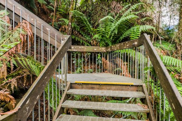
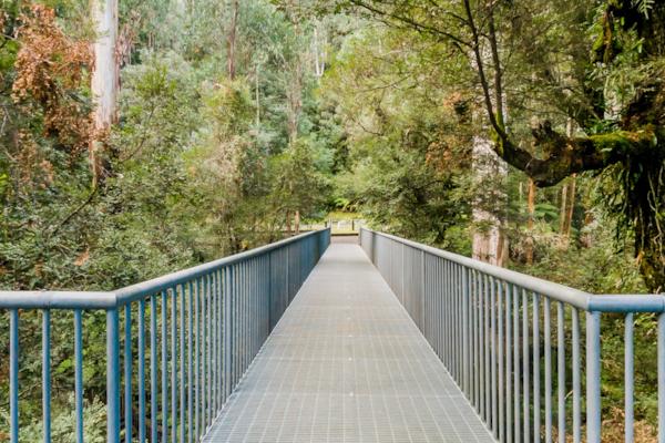
Mt. Donna Buang Rainforest Walkway
Mt. Donna Buang Rainforest Walkway
Mt. Donna Buang Rainforest Walkway
Mt. Donna Buang Skywalk
Mt. Donna Buang Rainforest Walkway
Mt. Donna Buang Rainforest Walkway
Mt. Donna Buang Rainforest Walkway
Donna Buang Rd.
Upper Yarra River, Warburton
Upper Yarra River, Warburton
Upper Yarra River, Warburton
Warburton
Upper Yarra River, Warburton
Upper Yarra River, Warburton
Warburton


Popular Panoramas
Yeppoon
Devils Marbles 0
Brooklyn Bridge
Kings Canyon Creek
Hollyford River - Milford Sound Hwy
Bargara Beach
Fireworks
Garden of Eden, Kings Canyon 0
Nelson Falls Trail
Yeppoon
Urban Art 3
Canarvon Gorge
Cradle Mountain 0
Olympic Cauldron
Hayman Island
Mordialloc Pier 1
Piha Beach 0
East Restaurant
Champ de Mars
City View


