4821
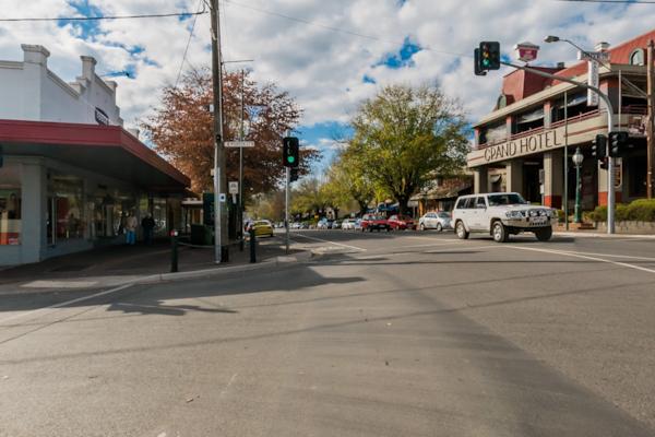
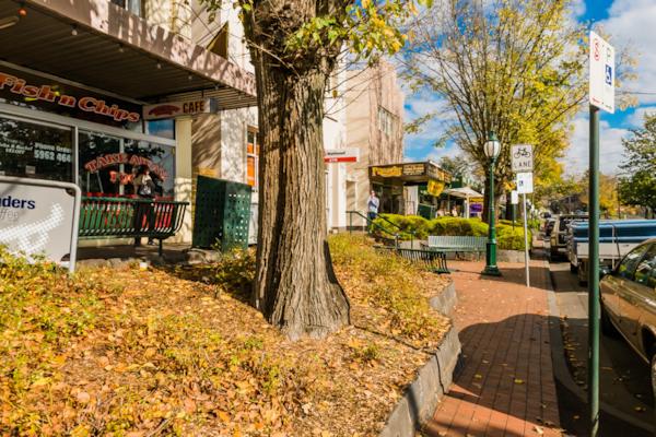
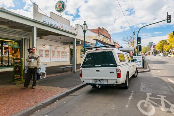
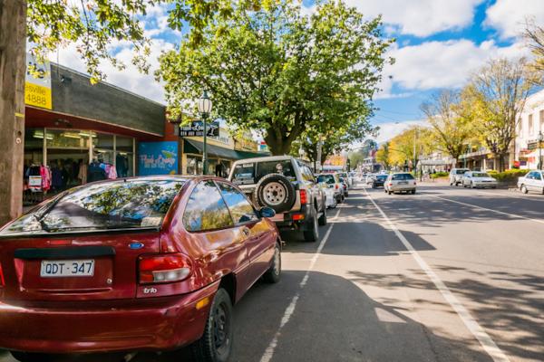
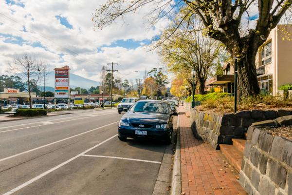
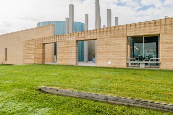
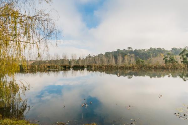
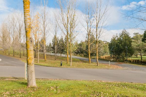
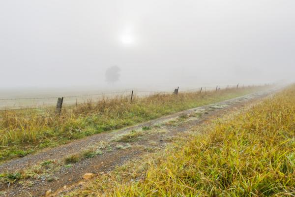
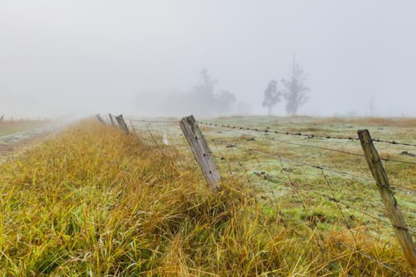
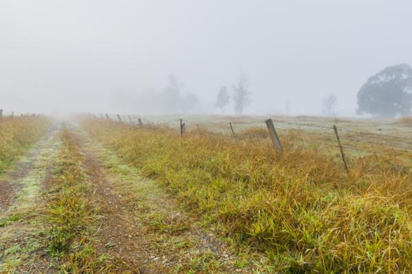
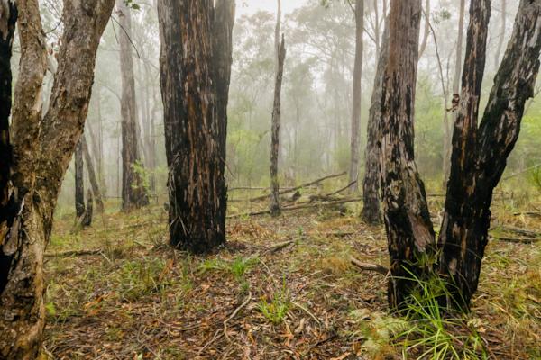
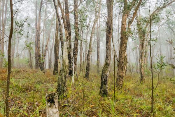
Healesville
by Rodrick Bond taken on 22nd May 2008
Healesville, Healesville, Victoria, Australia
Shot Details
- Photographer
Rodrick Bond - Date Shot
22nd May, 2008 at 12:59pm - Camera Nikon D300
- Lens '10.5 mm
- Shutter Speed 1/400 sec
- Aperture f/10
- ISO 200
Location Details
- Latitude -37.65416700
- Longitude 145.51616700
- Altitude 97m / 318ft
- Street 262 Maroondah Highway
- Suburb Healesville
- State Victoria
- Country Australia
- Postcode 3777
- Satellites 5
Other Details
- ID 4821
- Ranking 50/100
- Status Pending
- Last updated 27th October, 2015 at 5:11pm
Nearby Locations
Healesville
Healesville
Healesville
Healesville
Healesville
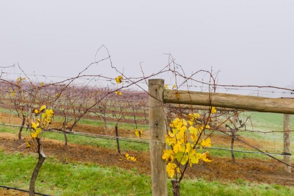
Long Gully Winery
Long Gully Winery
Long Gully Winery
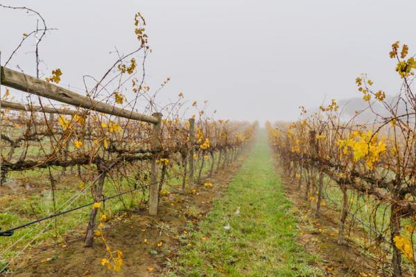
Tarrawarra Estate
Tarrawarra Estate
Tarrawarra Estate
Tarrawarra Estate
Tarrawarra Estate
Tarrawarra Estate
Tarrawarra Estate
Long Gully Rd.
Long Gully Rd.
Long Gully Rd.
Chum Creek Forest
Chum Creek Forest
Popular Panoramas
Tomakomai 0
Mickey's Creek
Uluru Mutitjulu Waterhole
Kings Canyon Lost City
Victoria Sq
Terrigal Rock Pool 4
1770
Kings Canyon View
Hamilton Island Marina
Great Keppel Island
Geelong Lap Pool 0
Piha Beach 0
Werri Beach 2
Southport Channel 0
Hollyford River - Milford Sound Hwy
Qantas Founders Museum 0
Burnett Heads
Canarvon Gorge
Watercourse
Hamilton Island Yacht Club


