3594
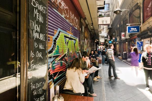
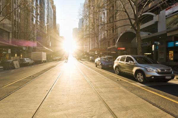
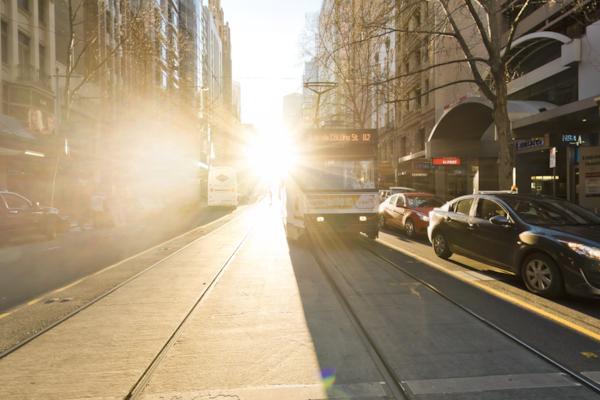
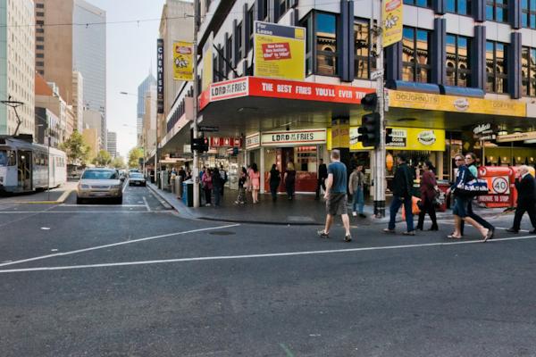
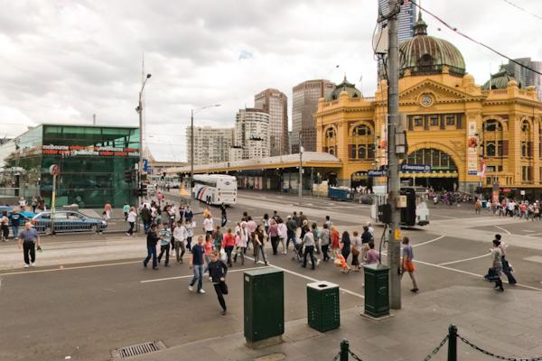
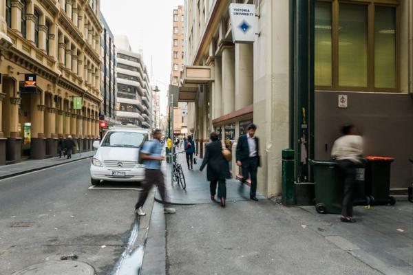
Flinders Lane & Degraves St
by Rodrick Bond taken on 6th April 2008
Flinders Lane & Degraves St, Melbourne, Victoria, Australia
Shot Details
- Photographer
Rodrick Bond - Date Shot
6th April, 2008 at 2:30pm - Camera Nikon D300
- Lens '10.5 mm
- Shutter Speed 1/40 sec
- Aperture f/10
- ISO 200
Location Details
- Latitude -37.81693300
- Longitude 144.96553900
- Altitude 36m / 118ft
- Street 267-271 Flinders Lane Lane
- Suburb Melbourne
- State Victoria
- Country Australia
- Postcode 3000
- Satellites 0
Other Details
- ID 3594
- Ranking 55/100
- Status Live
- Last updated 20th October, 2015 at 12:15pm
- Audio
Nearby Locations
Centre Place 2
Centre Place
Degraves st
Cnr. Flinders La. and Scott Al.
Elizabeth st tram terminus
Collins St
Collins St
Flinders & Elizabeth St
Flinders Ln & Swanston St
Elizabeth & Flinders St
Block Arcade
Swanston St
Elizabeth & Collins St
Flinders Street Station steps
St Paul's Cathedral
68 Swanston St
Flinders Station
Flinders & Swanston sts
Flinders La.
City Square 2


Popular Panoramas
Kata Tjuta, Walpa Gorge 0
Great Keppel Island
National War Memorial 4
Keruo
Kata Tjuta, Walpa Gorge 1
Noosa National Park 32
Russell Falls 0
Yeppoon
Telegraph Station 3
Shark Bay 3
Jena Bridge
Darling Harbour 15
Brachina Gorge, Flinders Ranges 2
Darling Harbour
Mickey's Creek
The Gap Park 3
Barrow Creek
Yeppoon
Fireworks
Long Island


